Regionalize, Professionalize, Modernize
Sample Systems
|
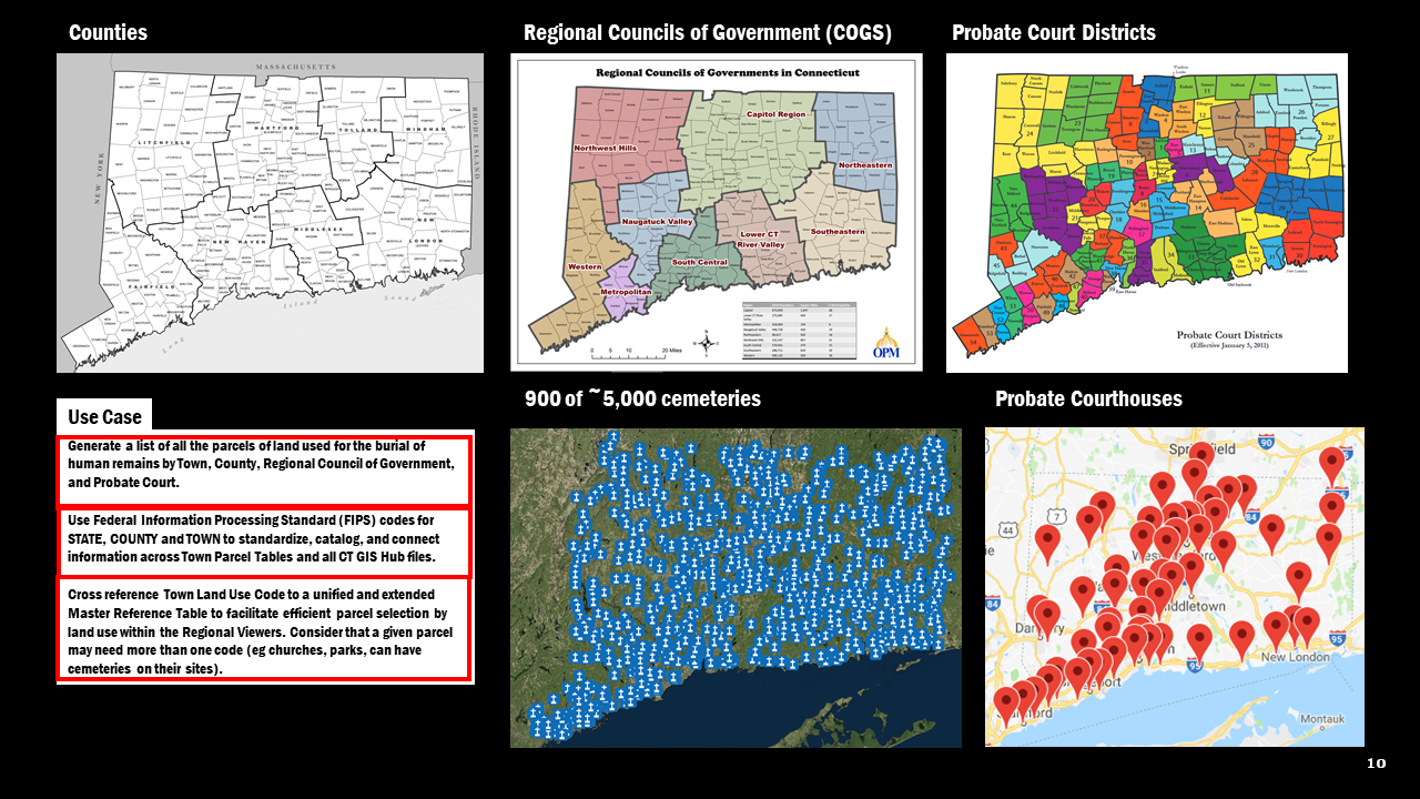
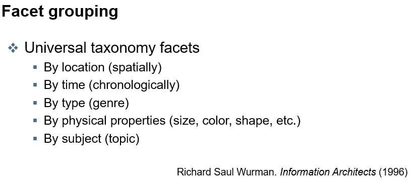
1. Organize Data by Standard Taxonomies
|
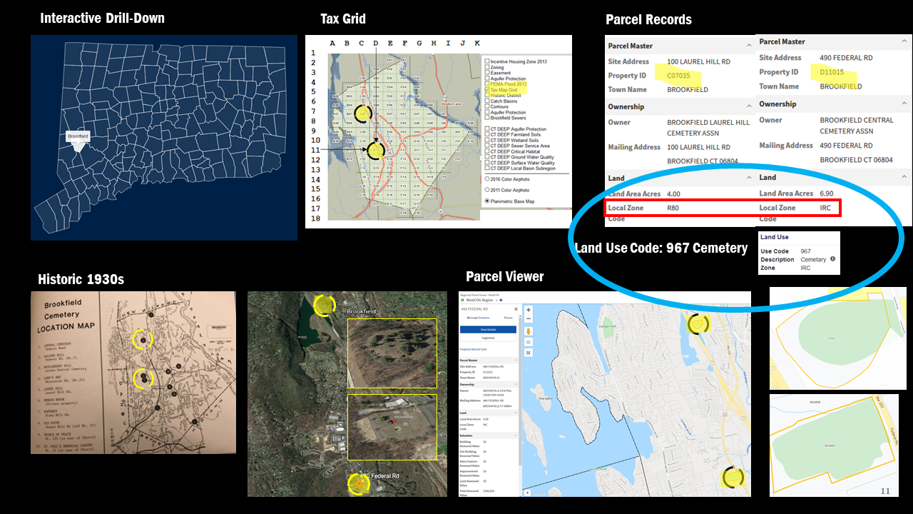
2. Interactive Drill-Down by Geographic Hierarchy
|
(Click above and scroll down to see map)
|
3. Selections across Zoning/Land Use Code
|
Standardized Land Use Code > Cemeteries
|
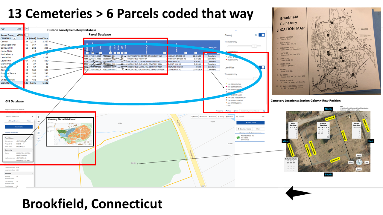
4. Town Level
|
Parcel Overview of Brookfield
|
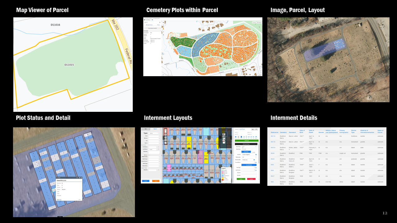
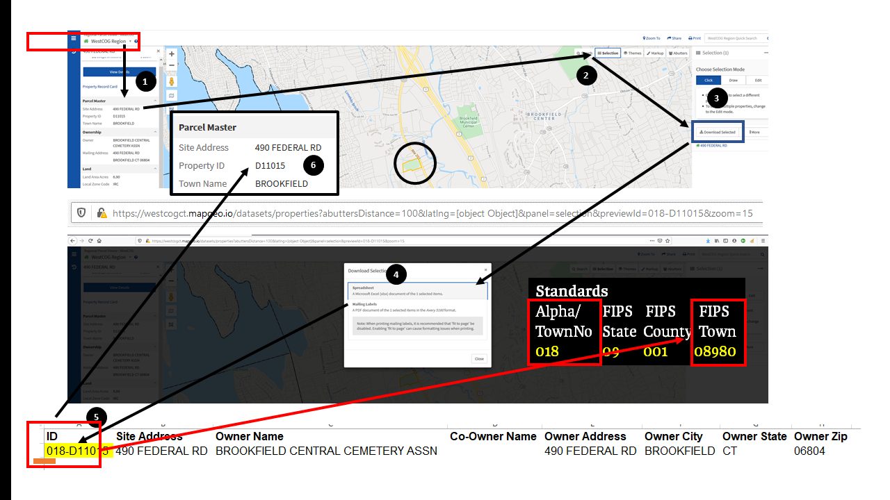
5. Parcel Level
|
Map of Single Parcel
|
6. Cemetery Level
|
Central Cemetery sample
|
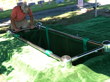
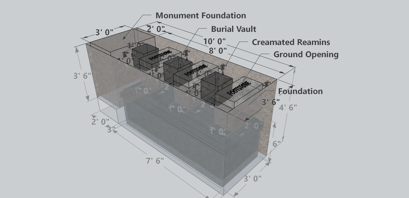
7. Grave Level
|
Interment detail
Examples:
|
